
1954 Map of Mt Peale 1 SE
USGS Topo · Published 1954About this map
The Utah Colorado State Line bisects this high-elevation landscape, where mining activity defines the industrial character of the mid-1950s. The region is heavily marked by uranium and vanadium extraction, with significant operations including the Vanadium Queen Mine, Hesperus Mine, and Black Hat Mine scattered across the rugged terrain of the Mantila Sal National Forest. Settlement is sparse, limited to the Pine Lodge Ranch and the locality of Wray, while the presence of a Landing Strip and numerous tunnels suggests the logistical challenges of operating in this isolated frontier.
Find a feature on this map
29 named features on this map. Tap any name to fly to it.
Don’t see what you’re looking for? This feature index may not catch every label — zoom into the map to look around manually.
Map Details
Editions of this 1954 Mt Peale 1 SE Map
This is the sole edition of this map. No revisions or reprints were ever made.
Other maps of this area

1885 · La Sal
USGS Topo · 1:250,000

1916 · Paradox Valley
USGS Topo · 1:125,000

1922 · Paradox Valley
USGS Topo · 1:125,000

1948 · Roc Creek
USGS Topo · 1:24,000

1948 · Paradox
USGS Topo · 1:24,000

1949 · Paradox
USGS Topo · 1:24,000

1949 · Roc Creek
USGS Topo · 1:24,000
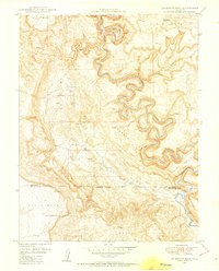
1949 · Anderson Mesa
USGS Topo · 1:24,000
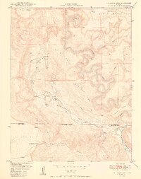
1950 · Anderson Mesa
USGS Topo · 1:24,000

1954 · Mt Peale 1 NE
USGS Topo · 1:24,000