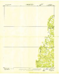
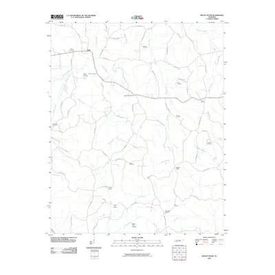
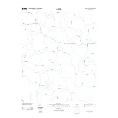
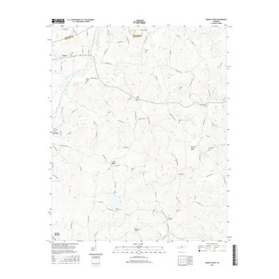
1936 Map of Mt. Peter
USGS Topo · Published 1936About this map
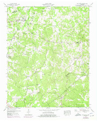
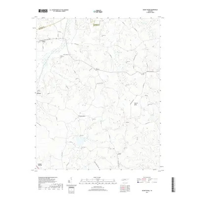
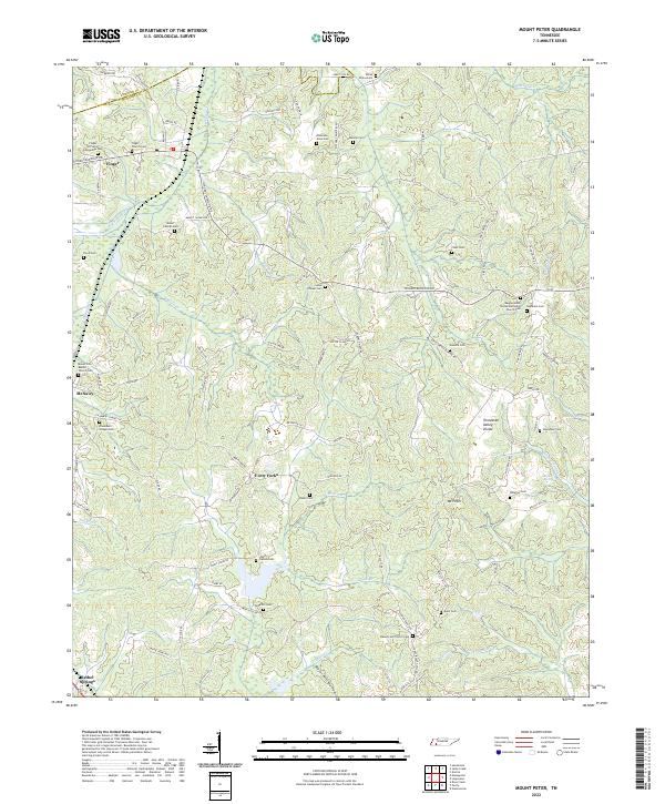
Mt Peter serves as a central landmark in this 1936 McNairy County landscape, documented during a pivotal era of rural electrification. The map highlights the early infrastructure of the Tennessee Valley Authority Transmission Line and the Pickwick Electric Membership Corp Trans Line, illustrating the arrival of modern utilities to this corner of Tennessee. The topography is defined by the Divide and Basin, where small rural institutions like Beauty Hill Ch, Clover Hill Sch, and Mackey Sch anchored the local community. The drainage of Little Snake Creek and a local Cem further delineate the established social and physical geography of the mid-1930s. This advance sheet captures the region just as it was being remapped through the lens of early aerial photography.
Find a feature on this map
14 named features on this map. Tap any name to fly to it.
Don’t see what you’re looking for? This feature index may not catch every label — zoom into the map to look around manually.
Map Details
Editions of this 1936 Mt. Peter Map
This is the sole edition of this map. No revisions or reprints were ever made.
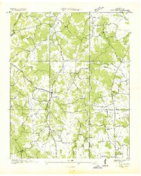
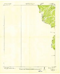
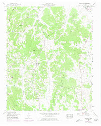
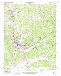
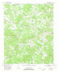
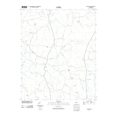
Historical Maps of Bethel Springs Through Time
27 maps found
1936 Leapwood
McNairy County, TN
1936 Mt. Peter
McNairy County, TN
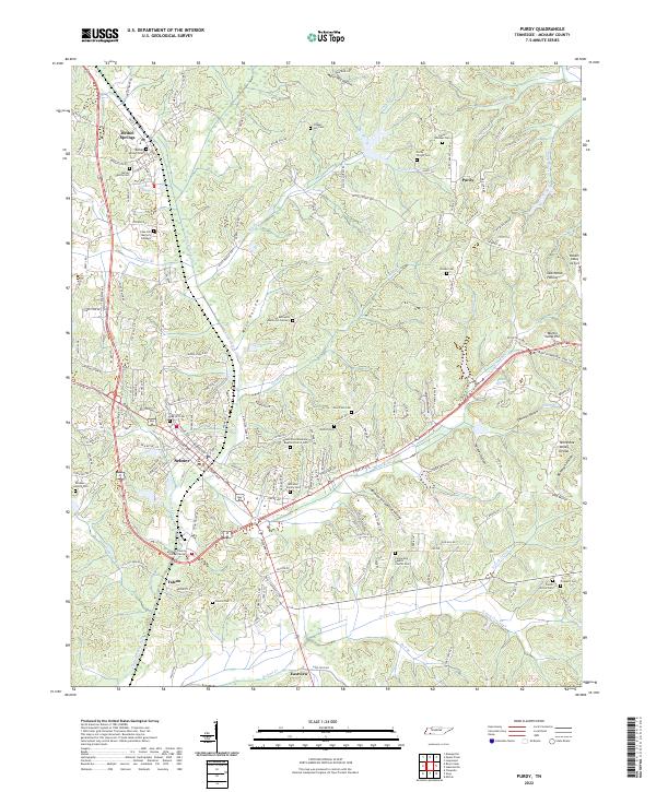
1936 Purdy
McNairy County, TN
1949 Leapwood
McNairy County, TN
1949 Mt Peter
McNairy County, TN
1949 Purdy
McNairy County, TN
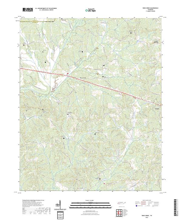
1951 Rose Creek
McNairy County, TN
2010 Leapwood
McNairy County, TN
2010 Mount Peter
McNairy County, TN
2010 Purdy
McNairy County, TN
2010 Rose Creek
McNairy County, TN
2013 Leapwood
McNairy County, TN
2013 Mount Peter
McNairy County, TN
2013 Purdy
McNairy County, TN
2013 Rose Creek
McNairy County, TN
2016 Leapwood
McNairy County, TN
2016 Mount Peter
McNairy County, TN
2016 Purdy
McNairy County, TN
2016 Rose Creek
McNairy County, TN
2019 Leapwood
McNairy County, TN
2019 Mount Peter
McNairy County, TN
2019 Purdy
McNairy County, TN
2019 Rose Creek
McNairy County, TN
2022 Leapwood
McNairy County, TN
2022 Mount Peter
McNairy County, TN
2022 Purdy
McNairy County, TN
2022 Rose Creek
McNairy County, TN