
1950 Map of Enville
USGS Topo · Published 1952About this map
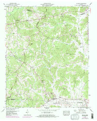
The Tennessee Valley Divide snakes through this rural landscape on the border of Henderson and Chester Counties, defining a terrain where small community hubs are connected by a network of unimproved roads and drainage canals. The village of Enville serves as the primary settlement, supported by a dense distribution of rural institutions such as Pine Springs School, Jerusalem Ch, and Shiloh Ch. The topography is characterized by significant water management efforts, evidenced by the Middleton Drainage Canal and White Oak Drainage Canal Creek, which reroute the natural flow of Dry Creek and Criner Creek. This 1950s survey documents a moment when local life was anchored by neighborhood landmarks like Sand Mtn and the Lookout tower, just as modern infrastructure like underground pipelines began to cross the traditional farmland.
Find a feature on this map
40 named features on this map. Tap any name to fly to it.
Don’t see what you’re looking for? This feature index may not catch every label — zoom into the map to look around manually.
Map Details
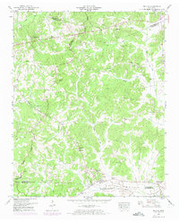
Editions of this 1950 Enville Map
3 editions found
Other maps of this area

1936 · Leapwood
USGS Topo · 1:24,000

1936 · Sardis
USGS Topo · 1:24,000

1936 · Reagan
USGS Topo · 1:24,000

1936 · Milledgeville
USGS Topo · 1:24,000

1936 · Enville
USGS Topo · 1:24,000

1936 · Life
USGS Topo · 1:24,000

1936 · Mt. Peter
USGS Topo · 1:24,000

1949 · Leapwood
USGS Topo · 1:24,000

1949 · Mt. Peter
USGS Topo · 1:24,000
1949 · Sardis
USGS Topo · 1:24,000