Loading...
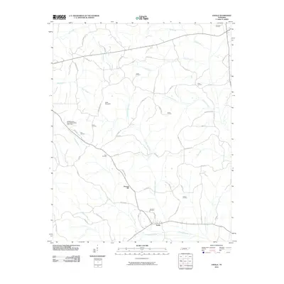
Loading map...1950 Map of Enville
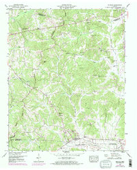
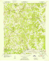
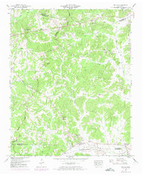
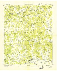
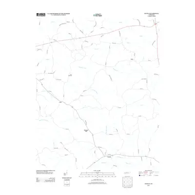
USGS Topo · Published 1973About this map
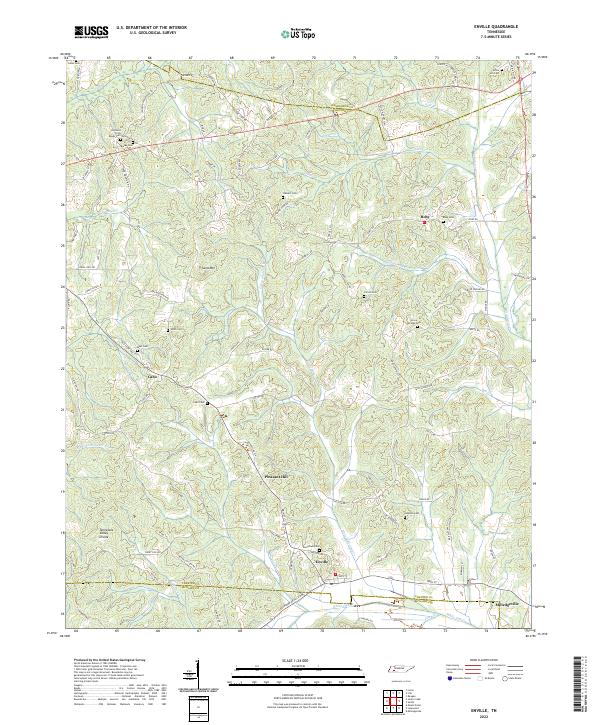
The Tennessee Valley Divide snakes through this West Tennessee landscape, separating the headwaters of numerous creeks that define the local topography. At the southern edge of the sheet, the community of Enville serves as a local hub, flanked by the Enville Ch and Woodlawn Cem. The 1950s terrain is marked by significant hydrological modifications, most notably the Middleton Drainage Canal Creek and White Oak Drainage Canal Creek, which suggest a concerted effort to manage the low-lying bottoms for agriculture.
Find a feature on this map
61 named features on this map. Tap any name to fly to it.
Don’t see what you’re looking for? This feature index may not catch every label — zoom into the map to look around manually.
Map Details
Date Portrayed1950
Date Published1973
PublisherU.S. Geological Survey
Map TypeTopographic
Scale1:24,000
Physical Dimensions22 x 27.4 inches
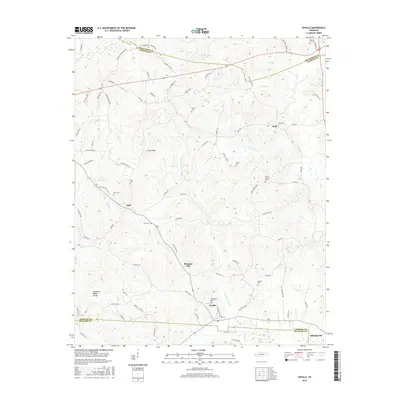
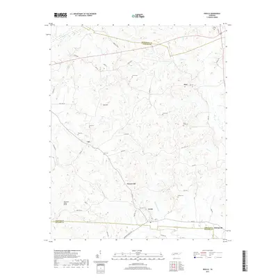
Editions of this 1950 Enville Map
3 editions found
Historical Maps of Milledgeville Through Time
7 maps found
Featured Locations
Source Details
SourceU.S. Geological Survey
CopyrightPublic Domain