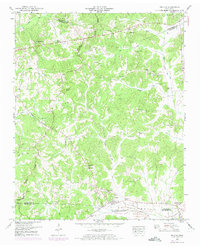
1950 Map of Enville
USGS Topo · Published 1974About this map
The Tennessee Valley Divide snakes through this West Tennessee landscape, separating the headwaters of numerous creeks in a region defined by its rural settlements and country churches. The community of Enville serves as a central hub, with its social and spiritual life centered around Pleasant Hill Enville Church and the nearby Woodlawn Cemetery. To the north, the terrain rises toward Sand Mountain, where a lookout tower once provided a vantage point over the timbered hills of Chester and Henderson counties.
Find a feature on this map
57 named features on this map. Tap any name to fly to it.
Don’t see what you’re looking for? This feature index may not catch every label — zoom into the map to look around manually.
Map Details
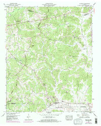
Editions of this 1950 Enville Map
3 editions found

Other maps of this area

1936 · Leapwood
USGS Topo · 1:24,000

1936 · Sardis
USGS Topo · 1:24,000

1936 · Reagan
USGS Topo · 1:24,000

1936 · Milledgeville
USGS Topo · 1:24,000

1936 · Enville
USGS Topo · 1:24,000

1936 · Life
USGS Topo · 1:24,000

1936 · Mt. Peter
USGS Topo · 1:24,000

1949 · Leapwood
USGS Topo · 1:24,000

1949 · Mt. Peter
USGS Topo · 1:24,000
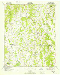
1949 · Sardis
USGS Topo · 1:24,000