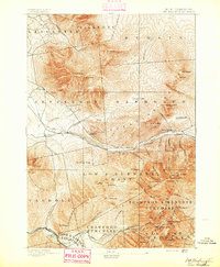
1893 Map of Mt. Washington
USGS Topo · Published 1893About this map
The Mt. Washington Railway ascends the western slopes of the Presidential Range, anchoring a landscape defined by late-nineteenth-century alpine tourism and high-elevation topography. Large seasonal hotels such as Fabyan House, Mt. Pleasant House, and the Ravine House serve as primary hubs for visitors navigating the peaks and glacial ravines. The map reveals an intricate network of specialized footpaths including the Lowe Path, Air Line Path, and Gordon Ridge Path, which provided access to the summits of Mt. Adams and Mt. Madison before the establishment of modern trail systems.
Find a feature on this map
87 named features on this map. Tap any name to fly to it.
Don’t see what you’re looking for? This feature index may not catch every label — zoom into the map to look around manually.
Map Details
Editions of this 1893 Mt. Washington Map
This is the sole edition of this map. No revisions or reprints were ever made.
Other maps of this area
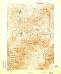
1893 · Gorham
USGS Topo · 1:62,500
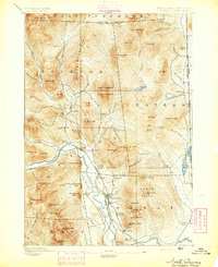
1894 · North Conway
USGS Topo · 1:62,500
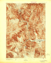
1895 · Crawford Notch
USGS Topo · 1:62,500
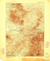
1896 · Mt. Washington
USGS Topo · 1:62,500
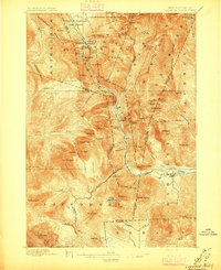
1896 · Crawford Notch
USGS Topo · 1:62,500
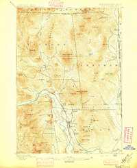
1896 · North Conway
USGS Topo · 1:62,500
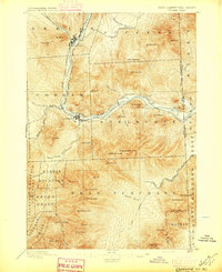
1896 · Gorham
USGS Topo · 1:62,500
1900 · Whitefield
USGS Topo · 1:62,500
1920 · Guildhall
USGS Topo · 1:62,500
1929 · Franconia
USGS Topo · 1:62,500