
1896 Map of Crawford Notch
USGS Topo · Published 1896About this map
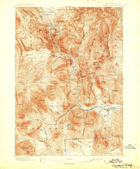
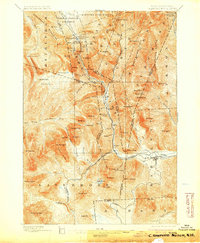
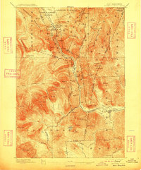
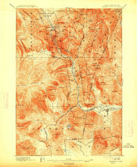
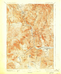
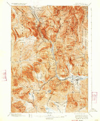
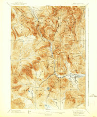
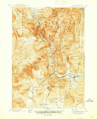
Crawford Notch and its surrounding peaks dominate this late 19th-century survey, revealing a landscape defined by steep elevations and early tourism infrastructure. The Maine Central Railroad snakes through the narrow pass, providing essential access to isolated settlements and seasonal destinations like the Crawford House and Willey House. These mountain hostels served as early hubs for hikers and travelers long before the expansion of modern road systems, and the map captures the concentration of activity along the Saco River corridor.
Find a feature on this map
100 named features on this map. Tap any name to fly to it.
Don’t see what you’re looking for? This feature index may not catch every label — zoom into the map to look around manually.
Map Details
Editions of this 1896 Crawford Notch Map
9 editions found
Other maps of this area

1893 · Mt. Washington
USGS Topo · 1:62,500

1893 · Gorham
USGS Topo · 1:62,500

1894 · North Conway
USGS Topo · 1:62,500

1895 · Crawford Notch
USGS Topo · 1:62,500

1896 · Mt. Washington
USGS Topo · 1:62,500

1896 · North Conway
USGS Topo · 1:62,500

1896 · Gorham
USGS Topo · 1:62,500

1900 · Whitefield
USGS Topo · 1:62,500

1928 · Plymouth
USGS Topo · 1:62,500

1929 · Franconia
USGS Topo · 1:62,500