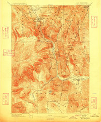
1896 Map of Crawford Notch
USGS Topo · Published 1909About this map
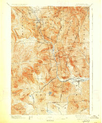
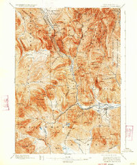
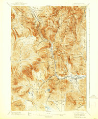
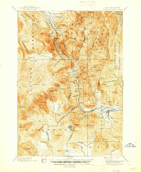
Crawford House and the Willey House stand as primary landmarks within the White Mountains, marking the historic mountain passes and travel routes long before modern highway systems. This survey, conducted in the 1890s, documents a landscape defined by timber extraction and early mountain tourism. The Maine Central R. R. cuts a precise path through the notches, while several Lumber R. R. lines branch into the high valleys of Livermore and Albany, illustrating the industrial scale of the logging era.
Find a feature on this map
103 named features on this map. Tap any name to fly to it.
Don’t see what you’re looking for? This feature index may not catch every label — zoom into the map to look around manually.
Map Details
Editions of this 1896 Crawford Notch Map
9 editions found
Other maps of this area

1893 · Mt. Washington
USGS Topo · 1:62,500

1893 · Gorham
USGS Topo · 1:62,500

1894 · North Conway
USGS Topo · 1:62,500

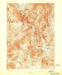
1895 · Crawford Notch
USGS Topo · 1:62,500

1896 · Mt. Washington
USGS Topo · 1:62,500

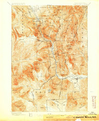
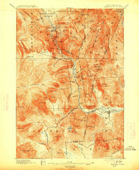
1896 · Crawford Notch
USGS Topo · 1:62,500

1896 · North Conway
USGS Topo · 1:62,500

1896 · Gorham
USGS Topo · 1:62,500

1900 · Whitefield
USGS Topo · 1:62,500

1928 · Plymouth
USGS Topo · 1:62,500