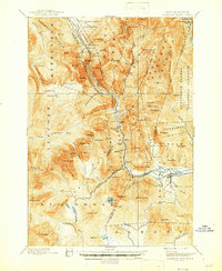
1896 Map of Crawford Notch
USGS Topo · Published 1946About this map
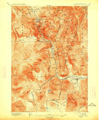
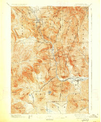
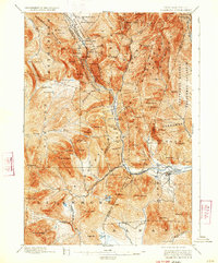
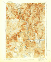
Maine Central R. R. tracks wind through the steep mountain passes of the White Mountains, providing a vital transportation corridor through the rugged terrain of the New Hampshire State Forest Reserve. The landscape is defined by massive peaks like Mt. Webster and Mt. Willey, which tower over the Saco River valley and its historic stopping points. Noted establishments like the Crawford House and the Willey House mark the early development of tourism and hospitality in the notch, while the town of Bartlett and the smaller settlement of Livermore show the dual economies of rail travel and local industry.
Find a feature on this map
109 named features on this map. Tap any name to fly to it.
Don’t see what you’re looking for? This feature index may not catch every label — zoom into the map to look around manually.
Map Details
Editions of this 1896 Crawford Notch Map
9 editions found
Other maps of this area

1893 · Mt. Washington
USGS Topo · 1:62,500

1893 · Gorham
USGS Topo · 1:62,500

1894 · North Conway
USGS Topo · 1:62,500

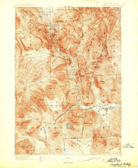
1895 · Crawford Notch
USGS Topo · 1:62,500

1896 · Mt. Washington
USGS Topo · 1:62,500

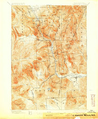
1896 · Crawford Notch
USGS Topo · 1:62,500

1896 · North Conway
USGS Topo · 1:62,500

1896 · Gorham
USGS Topo · 1:62,500

1900 · Whitefield
USGS Topo · 1:62,500

1928 · Plymouth
USGS Topo · 1:62,500