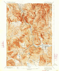
1896 Map of Crawford Notch
USGS Topo · Published 1933About this map
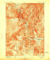
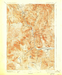
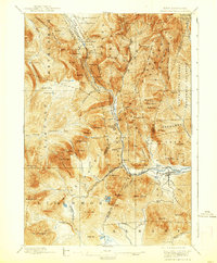
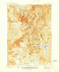
Crawford House and the Willey House anchor the high mountain passes of the White Mountains in this late 19th-century survey. The landscape is defined by the steep descent of the Saco River and the industrial infrastructure required to navigate it, including the Maine Central R. R. and the Portland & Ogdensburg R. R.. These rail lines follow the narrow corridors created by the terrain, providing a vital link through the New Hampshire State Forest Reserve to settlements like Bartlett and Livermore.
Find a feature on this map
99 named features on this map. Tap any name to fly to it.
Don’t see what you’re looking for? This feature index may not catch every label — zoom into the map to look around manually.
Map Details
Editions of this 1896 Crawford Notch Map
9 editions found
Other maps of this area

1893 · Mt. Washington
USGS Topo · 1:62,500

1893 · Gorham
USGS Topo · 1:62,500

1894 · North Conway
USGS Topo · 1:62,500

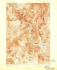
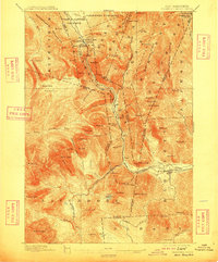
1895 · Crawford Notch
USGS Topo · 1:62,500

1896 · Mt. Washington
USGS Topo · 1:62,500

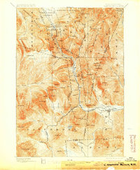
1896 · Crawford Notch
USGS Topo · 1:62,500

1896 · North Conway
USGS Topo · 1:62,500

1896 · Gorham
USGS Topo · 1:62,500

1900 · Whitefield
USGS Topo · 1:62,500

1928 · Plymouth
USGS Topo · 1:62,500