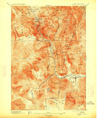
1896 Map of Crawford Notch
USGS Topo · Published 1914About this map
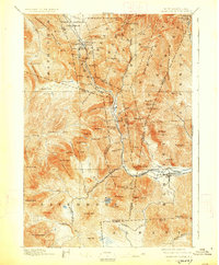
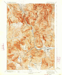
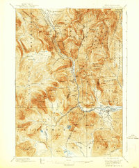
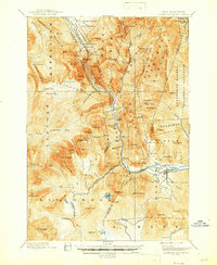
Crawford Notch serves as the focal point for this late 19th-century topographic study, capturing the rugged interior of the White Mountains during a period of expanding recreational tourism and industrial logging. The legendary Crawford House and Willey House stand as primary landmarks along the upper Saco River, marking the historical path through the mountains. To the south, the settlement of Livermore represents the era's timber industry, evidenced by the Lumber R. R. winding through the valley. The presence of the Maine Central R. R. underscores the region's importance as a transportation corridor connecting mountain communities like Bartlett to the wider New England network. Beyond the rails, the map reveals a dense network of high-elevation features, including Zealand Notch, the Bethlehem Mountains, and numerous cascades such as Flume Cascade and Silver Cascade.
Find a feature on this map
104 named features on this map. Tap any name to fly to it.
Don’t see what you’re looking for? This feature index may not catch every label — zoom into the map to look around manually.
Map Details
Editions of this 1896 Crawford Notch Map
9 editions found
Other maps of this area

1893 · Mt. Washington
USGS Topo · 1:62,500

1893 · Gorham
USGS Topo · 1:62,500

1894 · North Conway
USGS Topo · 1:62,500

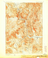
1895 · Crawford Notch
USGS Topo · 1:62,500

1896 · Mt. Washington
USGS Topo · 1:62,500

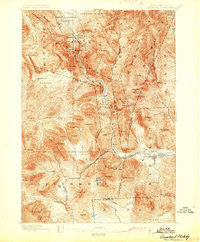
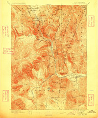
1896 · Crawford Notch
USGS Topo · 1:62,500

1896 · North Conway
USGS Topo · 1:62,500

1896 · Gorham
USGS Topo · 1:62,500

1900 · Whitefield
USGS Topo · 1:62,500

1928 · Plymouth
USGS Topo · 1:62,500