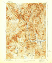
1896 Map of Crawford Notch
USGS Topo · Published 1938About this map
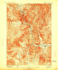
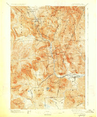
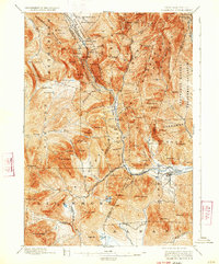
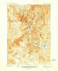
Crawford Notch serves as the dramatic centerpiece of this late 19th-century survey, a landscape defined by sharp elevation changes and the emerging mountain tourism of the era. The presence of the Crawford House and the Willey House along the narrow corridor of the Maine Central Railroad highlights the importance of rail travel in opening this part of the White Mountains to visitors. Outside the main travel corridor, the map reveals a rugged industrial reality where the Lumber R. R. pushes into the drainage of the Swift River and Sawyer River, indicating active timber operations within what would become protected lands. From the heights of the Bethlehem Mountains to the depths of Zealand Notch, the map records numerous water features such as Silver Cascade, Glen Ellis Falls, and Thoreau Falls before large-scale recreational development fully transformed the region.
Find a feature on this map
106 named features on this map. Tap any name to fly to it.
Don’t see what you’re looking for? This feature index may not catch every label — zoom into the map to look around manually.
Map Details
Editions of this 1896 Crawford Notch Map
9 editions found
Other maps of this area

1893 · Mt. Washington
USGS Topo · 1:62,500

1893 · Gorham
USGS Topo · 1:62,500

1894 · North Conway
USGS Topo · 1:62,500

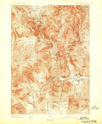
1895 · Crawford Notch
USGS Topo · 1:62,500

1896 · Mt. Washington
USGS Topo · 1:62,500

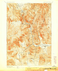
1896 · Crawford Notch
USGS Topo · 1:62,500

1896 · North Conway
USGS Topo · 1:62,500

1896 · Gorham
USGS Topo · 1:62,500

1900 · Whitefield
USGS Topo · 1:62,500

1928 · Plymouth
USGS Topo · 1:62,500