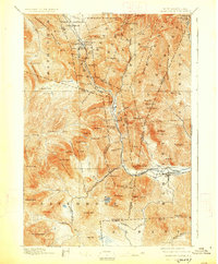
1896 Map of Crawford Notch
USGS Topo · Published 1927About this map
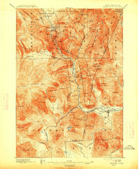
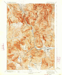
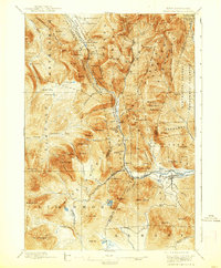
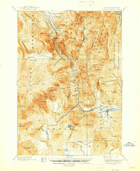
Crawford Notch and the surrounding White Mountain high country are defined here by early tourism and the intensive industrial demands of the late nineteenth century. The legendary Crawford House stands near Saco Lake, serving as a gateway for travelers, while the Willey House sits further south within the notch. This era saw the ascent of the Maine Central R. R. through the steep mountain passes, a feat of engineering signaled by landmarks like Frankenstein Cliff.
Find a feature on this map
99 named features on this map. Tap any name to fly to it.
Don’t see what you’re looking for? This feature index may not catch every label — zoom into the map to look around manually.
Map Details
Editions of this 1896 Crawford Notch Map
9 editions found
Other maps of this area

1893 · Mt. Washington
USGS Topo · 1:62,500

1893 · Gorham
USGS Topo · 1:62,500

1894 · North Conway
USGS Topo · 1:62,500

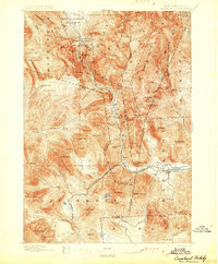
1895 · Crawford Notch
USGS Topo · 1:62,500

1896 · Mt. Washington
USGS Topo · 1:62,500

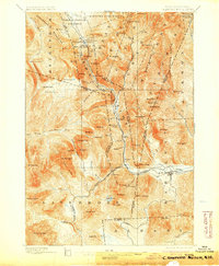
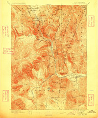
1896 · Crawford Notch
USGS Topo · 1:62,500

1896 · North Conway
USGS Topo · 1:62,500

1896 · Gorham
USGS Topo · 1:62,500

1900 · Whitefield
USGS Topo · 1:62,500

1928 · Plymouth
USGS Topo · 1:62,500