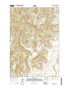
2014 Map of Muddy Valley
USGS Topo · Published 2014About this map
Muddy Valley and its surrounding drainages define the landscape southwest of McMinnville in this 2014 survey. The terrain is a complex network of ridges and watercourses, where Muddy Creek and its many branches, including the Middle Fork Muddy Creek and East Fork Muddy Creek, carve through the valley floor. High points such as Slide Mountain, The Butte, and Eagle Point provide significant relief against the agricultural and rural residential plots below.
Find a feature on this map
58 named features on this map. Tap any name to fly to it.
Don’t see what you’re looking for? This feature index may not catch every label — zoom into the map to look around manually.
Map Details
Editions of this 2014 Muddy Valley Map
This is the sole edition of this map. No revisions or reprints were ever made.
Other maps of this area

1924 · Mc Minnville
USGS Topo · 1:48,000

1926 · Mc Minnville
USGS Topo · 1:62,500

1940 · McMinnville
USGS Topo · 1:62,500

1941 · Yamhill
USGS Topo · 1:62,500

1942 · Sheridan
USGS Topo · 1:62,500

1942 · Yamhill
USGS Topo · 1:62,500

1942 · Fairdale
USGS Topo · 1:62,500

1948 · Vancouver
USGS Topo · 1:250,000

1950 · Vancouver
USGS Topo · 1:250,000

1950 · Vancouver
USGS Topo · 1:250,000