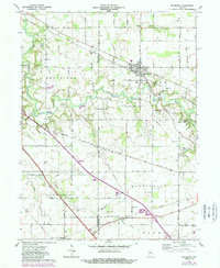
1961 Map of Mulberry
USGS Topo · Published 1989About this map
Mulberry stands as the primary hub of this landscape, situated along the Norfolk and Western rail line at the junction of Madison and Sheffield townships. The topography is defined by the winding course of South Fork Wildcat Creek, which carves through the central portion of the map, flanked by recreational spaces like Camp George Cullom and the Wildcat Conservation Club. To the south, the settlement of Fickle and the northern edge of Clarks Hill mark the transition toward more linear drainage patterns along Lauramie Creek and Fickle Ditch.
Find a feature on this map
35 named features on this map. Tap any name to fly to it.
Don’t see what you’re looking for? This feature index may not catch every label — zoom into the map to look around manually.
Map Details
Editions of this 1961 Mulberry Map
Other maps of this area

1953 · Danville
USGS Topo · 1:250,000

1955 · Danville
USGS Topo · 1:250,000

1956 · Danville
USGS Topo · 1:250,000

1958 · Kirkpatrick
USGS Topo · 1:24,000

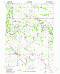
1961 · Mulberry
USGS Topo · 1:24,000

1961 · Pyrmont
USGS Topo · 1:24,000

1961 · Stockwell
USGS Topo · 1:24,000

1961 · Lafayette East
USGS Topo · 1:24,000

1961 · Rossville
USGS Topo · 1:24,000

1961 · Frankfort
USGS Topo · 1:24,000