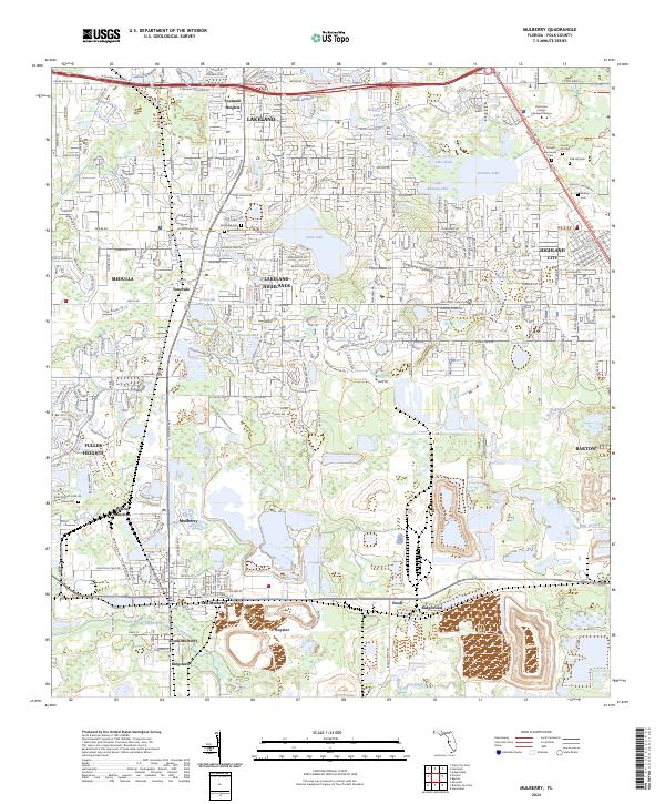
2024 Map of Mulberry
USGS Topo · Published 2024About this map
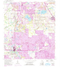
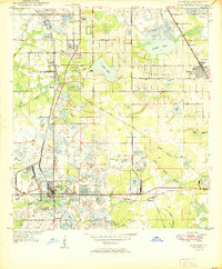
The phosphate mining and agricultural corridor of Polk County is documented here, showing a landscape defined by industrial development and residential growth. Centered on Mulberry, the map illustrates a network of settlements including Prairie Junction, Kingsford, and Royster, which highlight the region's economic history. The Seaboard RR corridor runs through the territory, a critical artery for the transport of local commodities. To the north, the expanding suburbs of Lakeland and Lakeland Highlands contrast with the numerous water bodies that characterize the terrain, such as Banana Lake, Scott Lake, and Crews Lake. Several historic burial grounds, including Medulla Cem and Oak Hill Cem, provide important landmarks for genealogical research, while the presence of the Polk State College Lakeland Campus marks the area's modern educational infrastructure near Highland City.
Find a feature on this map
70 named features on this map. Tap any name to fly to it.
Don’t see what you’re looking for? This feature index may not catch every label — zoom into the map to look around manually.
Map Details
Editions of this 2024 Mulberry Map
This is the sole edition of this map. No revisions or reprints were ever made.