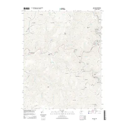
2014 Map of Mullens
USGS Topo · Published 2014About this map
The Guyandotte River snakes through this industrial corridor of southern West Virginia, anchoring a series of coal-country settlements including Mullens, Elmore, and Itmann. The 2014 landscape is defined by extensive mining infrastructure, notably the Otsego Mine Impoundment, Elmore Mine Impoundment, and Joes Br Refuse Impoundment, which sit high on the ridges above the narrow valley floors. Transportation networks follow the water, with the Slab Fork and Guyandotte River serving as the primary arteries for local roads and rail spurs. In the surrounding heights, family and community history is preserved at sites like Evans Cem and Hickory Ridge Cem, while high points such as Bearwallow Ridge and Micajah Ridge overlook the bustling hollows of Tralee and Alpoca. Local infrastructure is further detailed by named spans like the Kenneth Shadrick Bridge and the Ray Toler Memorial Bridge.
Find a feature on this map
99 named features on this map. Tap any name to fly to it.
Don’t see what you’re looking for? This feature index may not catch every label — zoom into the map to look around manually.
Map Details
Editions of this 2014 Mullens Map
This is the sole edition of this map. No revisions or reprints were ever made.
Other maps of this area

1887 · Pocahontas
USGS Topo · 1:125,000

1891 · Tazewell
USGS Topo · 1:125,000

1891 · Pocahontas
USGS Topo · 1:125,000

1891 · Oceana
USGS Topo · 1:125,000

1891 · Raleigh
USGS Topo · 1:125,000

1893 · Oceana
USGS Topo · 1:125,000

1894 · Pocahontas
USGS Topo · 1:125,000

1895 · Tazewell
USGS Topo · 1:125,000

1895 · Pocahontas
USGS Topo · 1:125,000

1897 · Tazewell
USGS Topo · 1:125,000