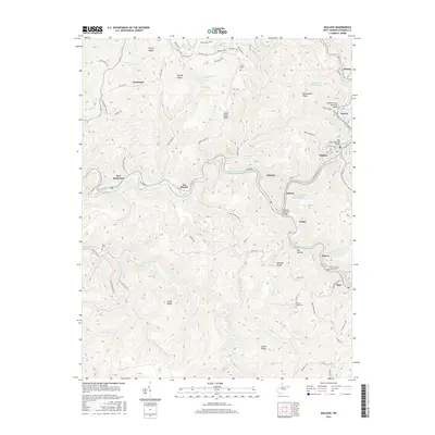
2016 Map of Mullens
USGS Topo · Published 2016About this map
The Guyandotte River carves a winding path through this portion of Wyoming County, anchoring a series of coal-country settlements including Mullens, Itmann, and New Richmond. The landscape is defined by its industrial legacy, clearly evidenced by the Otsego Mine Impoundment and Elmore Mine Impoundment, which sit high above the river valley. Transportation networks follow the tight contours of the land, with River Rd and the railroad corridor connecting towns through narrow gaps in the terrain. High ridges such as Pretty Ridge and Bearwallow Ridge separate the various hollows and creek branches. Genealogists may find interest in the scattered burial sites, including Bower Cem and Hickory Ridge Cem, which remain as markers of local family history amid the steep slopes and deep valleys.
Find a feature on this map
104 named features on this map. Tap any name to fly to it.
Don’t see what you’re looking for? This feature index may not catch every label — zoom into the map to look around manually.
Map Details
Editions of this 2016 Mullens Map
This is the sole edition of this map. No revisions or reprints were ever made.
Other maps of this area

1887 · Pocahontas
USGS Topo · 1:125,000

1891 · Tazewell
USGS Topo · 1:125,000

1891 · Pocahontas
USGS Topo · 1:125,000

1891 · Oceana
USGS Topo · 1:125,000

1891 · Raleigh
USGS Topo · 1:125,000

1893 · Oceana
USGS Topo · 1:125,000

1894 · Pocahontas
USGS Topo · 1:125,000

1895 · Tazewell
USGS Topo · 1:125,000

1895 · Pocahontas
USGS Topo · 1:125,000

1897 · Tazewell
USGS Topo · 1:125,000