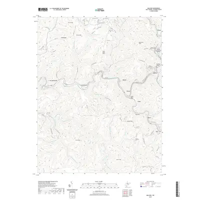
2019 Map of Mullens
USGS Topo · Published 2019About this map
Mullens serves as the primary hub of this Wyoming County landscape, where the Guyandotte River winds through a complex topography of ridges and hollows. The settlement pattern follows the river valley and its tributaries, connecting centers like Itmann, Elmore, and Tralee. This 2019 survey documents a modern infrastructure layered over traditional Appalachian geography, including commemorative crossings such as the Charles Stump Memorial Bridge and the Leonard Valentine Memorial Bridge.
Find a feature on this map
95 named features on this map. Tap any name to fly to it.
Don’t see what you’re looking for? This feature index may not catch every label — zoom into the map to look around manually.
Map Details
Editions of this 2019 Mullens Map
This is the sole edition of this map. No revisions or reprints were ever made.
Other maps of this area

1887 · Pocahontas
USGS Topo · 1:125,000

1891 · Tazewell
USGS Topo · 1:125,000

1891 · Pocahontas
USGS Topo · 1:125,000

1891 · Oceana
USGS Topo · 1:125,000

1891 · Raleigh
USGS Topo · 1:125,000

1893 · Oceana
USGS Topo · 1:125,000

1894 · Pocahontas
USGS Topo · 1:125,000

1895 · Tazewell
USGS Topo · 1:125,000

1895 · Pocahontas
USGS Topo · 1:125,000

1897 · Tazewell
USGS Topo · 1:125,000