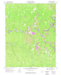
2023 Map of Mullens
USGS Topo · Published 2023About this map
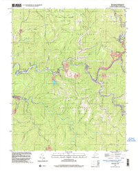
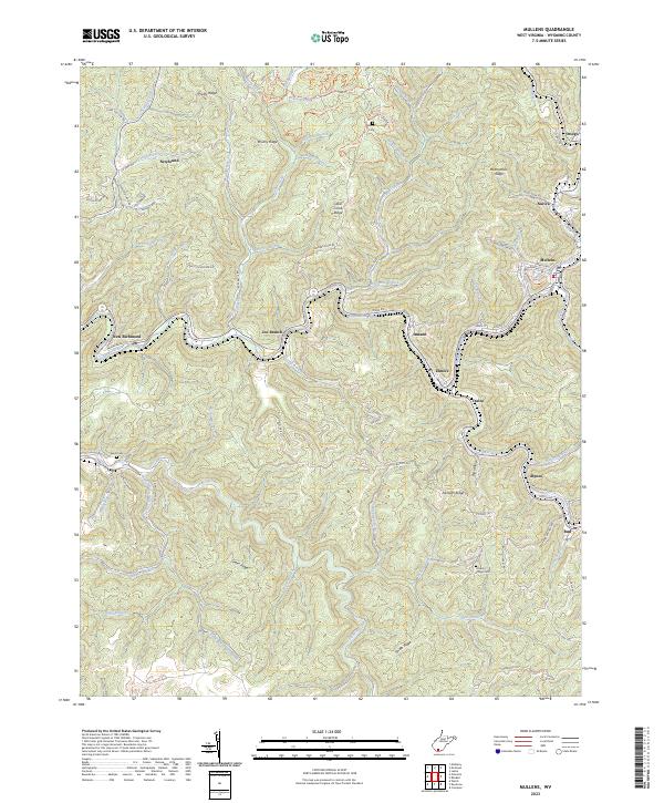
The Guyandotte River winds through the heart of this Wyoming County landscape, anchoring a series of valley settlements from New Richmond to Itmann and Mullens. The terrain is characterized by a dense network of ridges, including Pretty Ridge and Green Ridge, which separate the narrow hollows where most local development is concentrated. In the southeastern portion of the map, the confluence of Barkers Creek and Pinnacle Creek near Alpoca highlights the traditional role of watercourses in shaping the region's transport and habitation patterns. Genealogical interest is centered on family landmarks like Bower Cem and Hickory Ridge Cem, alongside legacy educational sites such as the Pell School. These points of interest, combined with the intricate road networks like Old Sweeney Farm Rd, provide a modern record of the area's long-standing coal-country communities.
Find a feature on this map
94 named features on this map. Tap any name to fly to it.
Don’t see what you’re looking for? This feature index may not catch every label — zoom into the map to look around manually.
Map Details
Editions of this 2023 Mullens Map
This is the sole edition of this map. No revisions or reprints were ever made.
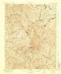
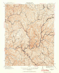
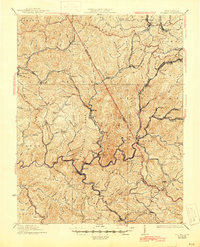
Historical Maps of Nuriva Through Time
6 maps found