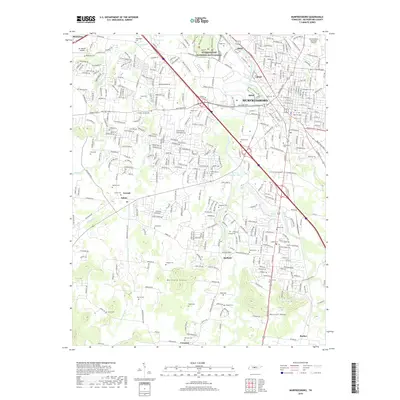
2019 Map of Murfreesboro
USGS Topo · Published 2019About this map
Stones River National Battlefield stands at the heart of this Rutherford County landscape, preserved amidst the modern expansion of Murfreesboro. The convergence of the West Fork Stones River and Middle Fork Stones River defines the drainage of the region, while the prominent elevations of Barfield Knobs and Marshall Knobs rise to the south near the communities of Barfield and Crescent. This modern survey documents a high density of family and community burial grounds, such as Beesley Cem, Old City Cem, and Washington Cem, which offer significant touchpoints for genealogical research in the outskirts of the city.
Find a feature on this map
349 named features on this map. Tap any name to fly to it.
Don’t see what you’re looking for? This feature index may not catch every label — zoom into the map to look around manually.
Map Details
Editions of this 2019 Murfreesboro Map
This is the sole edition of this map. No revisions or reprints were ever made.
Other maps of this area

1916 · Murfreesboro
USGS Topo · 1:62,500

1936 · Webbs Jungle
USGS Topo · 1:24,000

1936 · Rover
USGS Topo · 1:24,000

1936 · Fosterville
USGS Topo · 1:24,000

1942 · Lebanon
USGS Topo · 1:100,000

1944 · Shelbyville
USGS Topo · 1:100,000
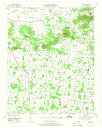
1949 · Rover
USGS Topo · 1:24,000
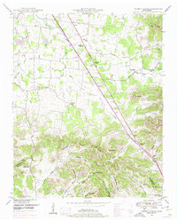
1949 · Webbs Jungle
USGS Topo · 1:24,000
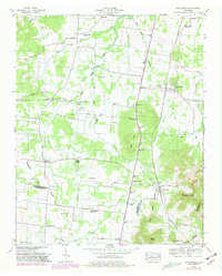
1949 · Fosterville
USGS Topo · 1:24,000

1950 · Walterhill
USGS Topo · 1:24,000