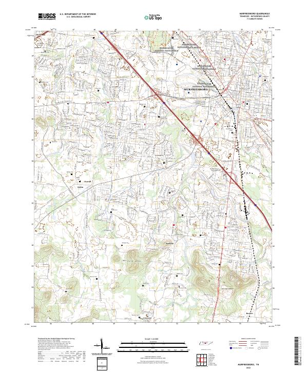
2022 Map of Murfreesboro
USGS Topo · Published 2022About this map
The Stones River National Battlefield preserves the center of this landscape, where the historic Civil War site meets the modern expansion of Murfreesboro. The city's growth is traced through its infrastructure, from the Rutherford County Judicial Center to the Murfreesboro Municipal Airport, while the surrounding terrain is defined by the Barfield Knobs and Marshall Knobs.
Find a feature on this map
58 named features on this map. Tap any name to fly to it.
Don’t see what you’re looking for? This feature index may not catch every label — zoom into the map to look around manually.
Map Details
Editions of this 2022 Murfreesboro Map
This is the sole edition of this map. No revisions or reprints were ever made.
Other maps of this area

1916 · Murfreesboro
USGS Topo · 1:62,500

1936 · Webbs Jungle
USGS Topo · 1:24,000

1936 · Rover
USGS Topo · 1:24,000

1936 · Fosterville
USGS Topo · 1:24,000

1942 · Lebanon
USGS Topo · 1:100,000

1944 · Shelbyville
USGS Topo · 1:100,000
1949 · Rover
USGS Topo · 1:24,000
1949 · Webbs Jungle
USGS Topo · 1:24,000
1949 · Fosterville
USGS Topo · 1:24,000

1950 · Walterhill
USGS Topo · 1:24,000