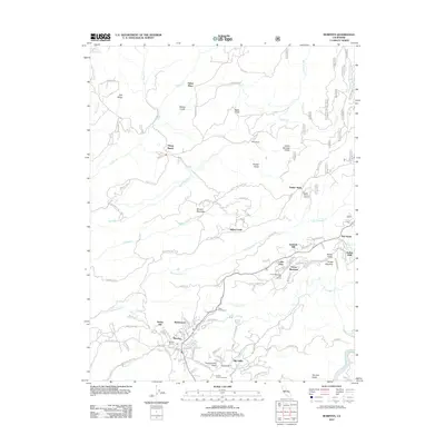
2012 Map of Murphys
USGS Topo · Published 2012About this map
Murphys anchors the lower portion of this topographic survey, showcasing a community defined by its complex irrigation and industrial infrastructure. The presence of the Utica Powerhouse and the extensive Utica Ditch system illustrates the historical significance of water management in this region of Calaveras County. The landscape is dotted with family-named locations and small settlements such as Sheep Ranch, Skull Ranch, and Fisher Place, alongside modern agricultural developments like Indian Rock Vineyards and Milliare Winery.
Find a feature on this map
116 named features on this map. Tap any name to fly to it.
Don’t see what you’re looking for? This feature index may not catch every label — zoom into the map to look around manually.
Map Details
Editions of this 2012 Murphys Map
This is the sole edition of this map. No revisions or reprints were ever made.
Other maps of this area

1889 · Jackson
USGS Topo · 1:125,000

1891 · Big Trees
USGS Topo · 1:125,000

1892 · Jackson
USGS Topo · 1:125,000

1894 · Big Trees
USGS Topo · 1:125,000

1897 · Jackson
USGS Topo · 1:125,000

1897 · Big Trees
USGS Topo · 1:125,000

1901 · Big Trees
USGS Topo · 1:125,000

1902 · Jackson
USGS Topo · 1:125,000

1945 · San Andreas
USGS Topo · 1:62,500

1947 · San Andreas
USGS Topo · 1:62,500