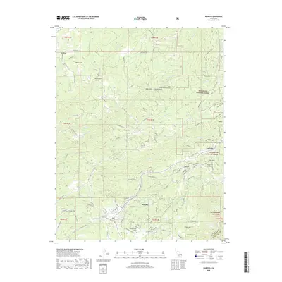
2018 Map of Murphys
USGS Topo · Published 2018About this map
Murphys sits at the heart of this Sierra Nevada foothills landscape, where historical water management systems like the Utica Ditch and Fricot Ditch reflect the region's enduring relationship with its mountain environment. The terrain is defined by a series of significant ravines and ridges, including Pennsylvania Gulch, French Gulch, and the somberly named Indian Burying Gulch north of Neds Gulch. Higher elevations are marked by Oak Ridge and Mineral Mtn, giving way to the eastern boundary of the Stanislaus National Forest. The map documents a blend of residential growth and outdoor recreation, featuring contemporary developments like Forest Meadows alongside the extensive Arnold Rim Trail. To the south, Table Mtn stands as a prominent geological feature near Yea Hoo Gulch, while the settlements of Avery and Red Apple anchor the northeastern corridor.
Find a feature on this map
109 named features on this map. Tap any name to fly to it.
Don’t see what you’re looking for? This feature index may not catch every label — zoom into the map to look around manually.
Map Details
Editions of this 2018 Murphys Map
This is the sole edition of this map. No revisions or reprints were ever made.
Other maps of this area

1889 · Jackson
USGS Topo · 1:125,000

1891 · Big Trees
USGS Topo · 1:125,000

1892 · Jackson
USGS Topo · 1:125,000

1894 · Big Trees
USGS Topo · 1:125,000

1897 · Jackson
USGS Topo · 1:125,000

1897 · Big Trees
USGS Topo · 1:125,000

1901 · Big Trees
USGS Topo · 1:125,000

1902 · Jackson
USGS Topo · 1:125,000

1945 · San Andreas
USGS Topo · 1:62,500

1947 · San Andreas
USGS Topo · 1:62,500