Loading...
Loading map...2021 Map of Murphys
USGS Topo · Published 2021About this map
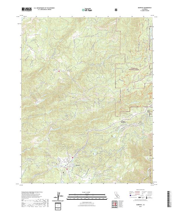
Murphys and the surrounding Sierra Nevada foothills appear in this survey as a landscape of deep canyons and historic mining-era infrastructure. The settlement pattern is anchored by Sheep Ranch and the specialized residential areas of Forest Meadows, while smaller locales like Buena Vista and Red Apple dot the periphery. The terrain is defined by dramatic elevation changes at Mineral Mtn and Table Mtn, dissected by the complex drainage of Angels Cr and San Domingo Cr.
Find a feature on this map
119 named features on this map. Tap any name to fly to it.
Don’t see what you’re looking for? This feature index may not catch every label — zoom into the map to look around manually.
Map Details
Date Portrayed2021
Date Published2021
PublisherU.S. Geological Survey
Map TypeTopographic
Scale1:24000
Physical Dimensions24 x 29 inches
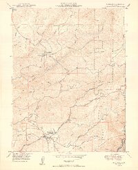
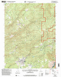
Editions of this 2021 Murphys Map
This is the sole edition of this map. No revisions or reprints were ever made.
Historical Maps of Indian Hills Through Time
4 maps found

Featured Locations
Source Details
SourceU.S. Geological Survey
CopyrightPublic Domain