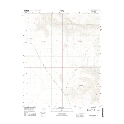
2014 Map of Music Mountains NW
USGS Topo · Published 2014About this map
The Grand Wash Cliffs dominate this section of Mohave County, marking a sharp topographical transition as the landscape rises toward the Music Mountains. This 2014 survey captures a largely arid expanse defined by significant elevation changes, where drainage patterns like Hells Canyon cut through the high desert. Settlement is sparse, represented primarily by a grid of rural roads and tracks in the lower elevations.
Find a feature on this map
14 named features on this map. Tap any name to fly to it.
Don’t see what you’re looking for? This feature index may not catch every label — zoom into the map to look around manually.
Map Details
Editions of this 2014 Music Mountains NW Map
This is the sole edition of this map. No revisions or reprints were ever made.
Other maps of this area

1886 · Diamond Creek
USGS Topo · 1:250,000

1886 · Camp Mohave
USGS Topo · 1:250,000

1892 · Diamond Creek
USGS Topo · 1:250,000

1892 · Camp Mohave
USGS Topo · 1:250,000

1942 · Camp Mohave
USGS Topo · 1:250,000

1947 · Kingman
USGS Topo · 1:250,000

1948 · Kingman
USGS Topo · 1:250,000

1948 · Williams
USGS Topo · 1:250,000

1954 · Kingman
USGS Topo · 1:250,000

1954 · Williams
USGS Topo · 1:250,000