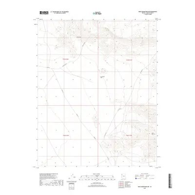
2018 Map of Music Mountains NW
USGS Topo · Published 2018About this map
The dramatic elevation shifts of the Grand Wash Cliffs dominate this section of the Arizona desert, where the Colorado Plateau meets the Basin and Range province. This 2018 survey reveals a landscape primarily defined by its physical geography and ranching infrastructure rather than dense settlement. Water, the most precious resource in this arid environment, is marked by the presence of Fred Jackson Spring, a critical point for local survival and livestock. The topographic detail shows the deep incisions of Hells Canyon in the north, while the southern portion of the sheet is grounded by the rising mass of the Music Mountains. Transportation across these reaches is limited to rugged tracks and secondary routes such as Tenney Ranch Rd and Clay Springs Rd, highlighting the isolation and sparse development of this portion of Mohave County.
Find a feature on this map
12 named features on this map. Tap any name to fly to it.
Don’t see what you’re looking for? This feature index may not catch every label — zoom into the map to look around manually.
Map Details
Editions of this 2018 Music Mountains NW Map
This is the sole edition of this map. No revisions or reprints were ever made.
Other maps of this area

1886 · Diamond Creek
USGS Topo · 1:250,000

1886 · Camp Mohave
USGS Topo · 1:250,000

1892 · Diamond Creek
USGS Topo · 1:250,000

1892 · Camp Mohave
USGS Topo · 1:250,000

1942 · Camp Mohave
USGS Topo · 1:250,000

1947 · Kingman
USGS Topo · 1:250,000

1948 · Kingman
USGS Topo · 1:250,000

1948 · Williams
USGS Topo · 1:250,000

1954 · Kingman
USGS Topo · 1:250,000

1954 · Williams
USGS Topo · 1:250,000