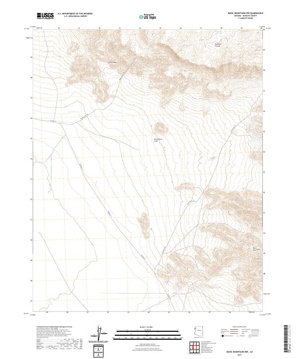
2021 Map of Music Mountains NW
USGS Topo · Published 2021About this map
The Grand Wash Cliffs dominate this Mohave County landscape, marking a sharp topographic transition between the Hualapai Plateau and the desert floor below. This 2021 study by the U.S. Geological Survey captures the intricate drainage patterns of Hells Canyon as it carves through the high plateau. The terrain is defined by dramatic elevation changes, with the Music Mountains rising in the southeast and the cliffs themselves serving as a formidable natural barrier.
Find a feature on this map
14 named features on this map. Tap any name to fly to it.
Don’t see what you’re looking for? This feature index may not catch every label — zoom into the map to look around manually.
Map Details
Editions of this 2021 Music Mountains NW Map
This is the sole edition of this map. No revisions or reprints were ever made.
Other maps of this area

1886 · Diamond Creek
USGS Topo · 1:250,000

1886 · Camp Mohave
USGS Topo · 1:250,000

1892 · Diamond Creek
USGS Topo · 1:250,000

1892 · Camp Mohave
USGS Topo · 1:250,000

1942 · Camp Mohave
USGS Topo · 1:250,000

1947 · Kingman
USGS Topo · 1:250,000

1948 · Kingman
USGS Topo · 1:250,000

1948 · Williams
USGS Topo · 1:250,000

1954 · Kingman
USGS Topo · 1:250,000

1954 · Williams
USGS Topo · 1:250,000