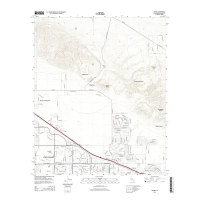
2015 Map of Myoma
USGS Topo · Published 2015About this map
Thousand Palms Canyon and the surrounding Indio Hills dominate this mid-2010s survey of the Coachella Valley. The map documents a landscape defined by the contrast between arid topographical features like Pushawalla Canyon and the dense, concentrated development of Palm Desert and Myoma along the valley floor. Notable for its many oasis-like groves, the sheet identifies several named palm clusters including Willis Palms, Hidden Palms, and Macomber Palms, which reflect the unique hydrology of the San Andreas Fault zone passing through this region.
Find a feature on this map
130 named features on this map. Tap any name to fly to it.
Don’t see what you’re looking for? This feature index may not catch every label — zoom into the map to look around manually.
Map Details
Editions of this 2015 Myoma Map
This is the sole edition of this map. No revisions or reprints were ever made.
Other maps of this area

1904 · Indio
USGS Topo · 1:125,000

1941 · Toro Peak
USGS Topo · 1:62,500

1941 · Coachella
USGS Topo · 1:62,500

1941 · Edom
USGS Topo · 1:62,500

1943 · Coachella
USGS Topo · 1:62,500

1944 · Toro peak
USGS Topo · 1:62,500

1944 · Edom
USGS Topo · 1:62,500

1944 · Pinyon Well
USGS Topo · 1:62,500

1947 · Santa Ana
USGS Topo · 1:250,000

1949 · Santa Ana
USGS Topo · 1:250,000