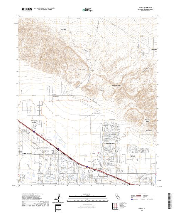
2023 Map of Myoma
USGS Topo · Published 2023About this map
The Coachella Valley National Wildlife Refuge anchors the center of this landscape, preserving a critical desert ecosystem amid the expanding urban footprints of the Coachella Valley. To the north, the Indio Hills rise above the basin, hiding a string of desert oases including Willis Palms, Pushawalla Palms, and Hidden Palms. These palm groves, often associated with tectonic fault lines where groundwater reaches the surface, represent the rare natural hydration of the Colorado Desert before modern irrigation.
Find a feature on this map
187 named features on this map. Tap any name to fly to it.
Don’t see what you’re looking for? This feature index may not catch every label — zoom into the map to look around manually.
Map Details
Editions of this 2023 Myoma Map
This is the sole edition of this map. No revisions or reprints were ever made.
Other maps of this area

1904 · Indio
USGS Topo · 1:125,000

1941 · Toro Peak
USGS Topo · 1:62,500

1941 · Coachella
USGS Topo · 1:62,500

1941 · Edom
USGS Topo · 1:62,500

1943 · Coachella
USGS Topo · 1:62,500

1944 · Toro peak
USGS Topo · 1:62,500

1944 · Edom
USGS Topo · 1:62,500

1944 · Pinyon Well
USGS Topo · 1:62,500

1947 · Santa Ana
USGS Topo · 1:250,000

1949 · Santa Ana
USGS Topo · 1:250,000