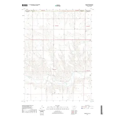
2017 Map of Naper NW
USGS Topo · Published 2017About this map
Oscar Micheaux Cr flows through this corner of northern Nebraska, a region defined by the intricate drainages of the Missouri River watershed along the South Dakota border. This landscape in Boyd County reveals a network of section lines and rural access roads that follow the high ridges between deeply incised creek beds. The drainage patterns shown here provide a clear look at the local topography as it was documented in the early 21st century, illustrating how the natural watercourses shape the layout of agricultural land and transportation routes in this part of the Great Plains.
Find a feature on this map
1 named feature on this map. Tap any name to fly to it.
Don’t see what you’re looking for? This feature index may not catch every label — zoom into the map to look around manually.
Map Details
Editions of this 2017 Naper NW Map
This is the sole edition of this map. No revisions or reprints were ever made.
Other maps of this area

1950 · Mariaville
USGS Topo · 1:24,000

1951 · Naper
USGS Topo · 1:24,000

1951 · Dustin
USGS Topo · 1:24,000

1951 · Naper SW
USGS Topo · 1:24,000

1955 · Mitchell
USGS Topo · 1:250,000

1955 · O'Neill
USGS Topo · 1:250,000

1959 · O'Neill
USGS Topo · 1:250,000

1959 · Mitchell
USGS Topo · 1:250,000

1964 · Gregory SE
USGS Topo · 1:24,000

1964 · St. Charles
USGS Topo · 1:24,000