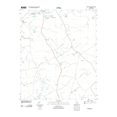
2011 Map of Napier Pond
USGS Topo · Published 2011About this map
Mount Pleasant anchors the northwestern corner of this landscape, characterized by a complex network of small lakes and agricultural cemeteries in Baldwin County. Significant institutional presence is evident near the northern border, where Georgia State Hospital Lake West and Georgia State Hospital Lake are located alongside several specialized forestry and hospital ponds. The terrain is marked by family-named landmarks and historical burial grounds, such as the Price-council-Carr Cemetery and Mount Nebo Cemetery. The hydrography of the region is defined by the winding Oconee River and numerous tributaries like Little Black Creek and Commissioner Creek. Notable elevations include Hillhouse Hill, while old transportation routes are represented by Johns Bridge, which crosses over the waters of Black Creek. These features suggest a long history of settlement and local land use, from early churchyards like the Mount Pleasant Baptist Churchyard to modern water management infrastructure.
Find a feature on this map
90 named features on this map. Tap any name to fly to it.
Don’t see what you’re looking for? This feature index may not catch every label — zoom into the map to look around manually.
Map Details
Editions of this 2011 Napier Pond Map
This is the sole edition of this map. No revisions or reprints were ever made.
Other maps of this area

1912 · Milledgeville
USGS Topo · 1:62,500

1916 · Irwinton
USGS Topo · 1:62,500

1920 · Irwinton
USGS Topo · 1:62,500

1953 · Athens
USGS Topo · 1:250,000

1956 · Gordon
USGS Topo · 1:62,500

1957 · Macon
USGS Topo · 1:250,000

1958 · Macon
USGS Topo · 1:250,000

1958 · Athens
USGS Topo · 1:250,000

1959 · Athens
USGS Topo · 1:250,000

1963 · Athens
USGS Topo · 1:250,000