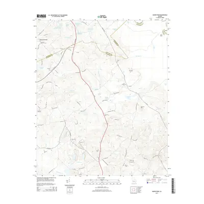
2014 Map of Napier Pond
USGS Topo · Published 2014About this map
Mount Pleasant and the surrounding Georgia countryside are defined by a complex network of small lakes and family-named cemeteries along the border of Baldwin and Wilkinson Counties. The landscape includes significant institutional sites like the Georgia State Hospital Lake, Forestry Pond Number Two, and Hospital Lake Number One, hinting at the extensive grounds of the former state asylum. Local history is deeply embedded in the land through numerous burial grounds such as Snow Hill Cemeteries and the Mt Pleasant Baptist Churchyard, which sit alongside early transport crossings like Johns Bridge.
Find a feature on this map
94 named features on this map. Tap any name to fly to it.
Don’t see what you’re looking for? This feature index may not catch every label — zoom into the map to look around manually.
Map Details
Editions of this 2014 Napier Pond Map
This is the sole edition of this map. No revisions or reprints were ever made.
Other maps of this area

1912 · Milledgeville
USGS Topo · 1:62,500

1916 · Irwinton
USGS Topo · 1:62,500

1920 · Irwinton
USGS Topo · 1:62,500

1953 · Athens
USGS Topo · 1:250,000

1956 · Gordon
USGS Topo · 1:62,500

1957 · Macon
USGS Topo · 1:250,000

1958 · Macon
USGS Topo · 1:250,000

1958 · Athens
USGS Topo · 1:250,000

1959 · Athens
USGS Topo · 1:250,000

1963 · Athens
USGS Topo · 1:250,000