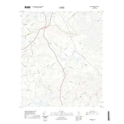
2020 Map of Napier Pond
USGS Topo · Published 2020About this map
The boundary between Baldwin Co and Wilkinson Co cuts through this landscape of the upper Coastal Plain, where small ponds and winding creeks define the local geography. Significant water features include Napier Pond, Hollinshead Pond, and the Oconee River, which flows along the northeastern corner near Dead River and Long Lake. This area is particularly dense with small family and church cemeteries, providing a detailed record of local genealogy through sites such as the Price-Council-Carr Cem, Nunn-Wheeler Cem, and Byington Cem.
Find a feature on this map
89 named features on this map. Tap any name to fly to it.
Don’t see what you’re looking for? This feature index may not catch every label — zoom into the map to look around manually.
Map Details
Editions of this 2020 Napier Pond Map
This is the sole edition of this map. No revisions or reprints were ever made.
Other maps of this area

1912 · Milledgeville
USGS Topo · 1:62,500

1916 · Irwinton
USGS Topo · 1:62,500

1920 · Irwinton
USGS Topo · 1:62,500

1953 · Athens
USGS Topo · 1:250,000

1956 · Gordon
USGS Topo · 1:62,500

1957 · Macon
USGS Topo · 1:250,000

1958 · Macon
USGS Topo · 1:250,000

1958 · Athens
USGS Topo · 1:250,000

1959 · Athens
USGS Topo · 1:250,000

1963 · Athens
USGS Topo · 1:250,000