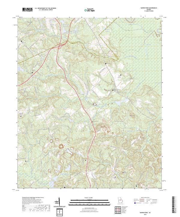
2024 Map of Napier Pond
USGS Topo · Published 2024About this map
Macedonia Cem and Nunn - Wheeler Cem sit among the many family and church burial sites that dot the rolling terrain of the Baldwin and Wilkinson county line. The landscape is defined by its complex hydrology, where the Oconee River and its associated Dead River oxbow and Long Lake form a broad swampy corridor to the east. Institutional history is anchored in the northwest, marked by Georgia State Hospital Lake West and Georgia State Hospital Lake Number One. The map reveals a rural economy structured around these water sources, from Commissioner Creek in the south to the network of smaller flows like Little Black Creek and Laurel Branch. Family names are preserved through numerous local roads such as Hardie Smith Rd and Jack Fountain Rd, providing a detailed look at the contemporary settlement pattern of this Georgia interior.
Find a feature on this map
87 named features on this map. Tap any name to fly to it.
Don’t see what you’re looking for? This feature index may not catch every label — zoom into the map to look around manually.
Map Details
Editions of this 2024 Napier Pond Map
This is the sole edition of this map. No revisions or reprints were ever made.
Other maps of this area

1912 · Milledgeville
USGS Topo · 1:62,500

1916 · Irwinton
USGS Topo · 1:62,500

1920 · Irwinton
USGS Topo · 1:62,500

1953 · Athens
USGS Topo · 1:250,000

1956 · Gordon
USGS Topo · 1:62,500

1957 · Macon
USGS Topo · 1:250,000

1958 · Macon
USGS Topo · 1:250,000

1958 · Athens
USGS Topo · 1:250,000

1959 · Athens
USGS Topo · 1:250,000

1963 · Athens
USGS Topo · 1:250,000