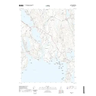
2021 Map of Naples
USGS Topo · Published 2021About this map
Songo River and the Crooked River converge in this lake-rich region of Cumberland County, where the historic Songo Lock manages the waterway between Long Lake and the northern reaches of Sebago Lake. The landscape is defined by its deep connectivity to water, shown through dozens of coves like Jackson Cove and Kettle Cove, alongside numerous islands including Millstone Island and the Dingley Islands. Genealogists will find a wealth of family-named burial sites scattered across the ridges, from the Naples Village Cem near the town center to the Cook-Pinkham Cem and Murch Cem further east. Settlement patterns follow the high ground of Leach Hill and Quaker Hill, while local aviation is represented by Twin Eagles Airport situated near Naples.
Find a feature on this map
191 named features on this map. Tap any name to fly to it.
Don’t see what you’re looking for? This feature index may not catch every label — zoom into the map to look around manually.
Map Details
Editions of this 2021 Naples Map
This is the sole edition of this map. No revisions or reprints were ever made.
Other maps of this area

1894 · Gray
USGS Topo · 1:62,500

1896 · Norway
USGS Topo · 1:62,500

1896 · Sebago
USGS Topo · 1:62,500

1898 · Gray
USGS Topo · 1:62,500

1908 · Poland
USGS Topo · 1:62,500

1940 · Poland
USGS Topo · 1:62,500

1942 · Poland
USGS Topo · 1:62,500

1942 · Gray
USGS Topo · 1:62,500

1942 · Sebago Lake
USGS Topo · 1:62,500

1943 · Sebago Lake
USGS Topo · 1:62,500