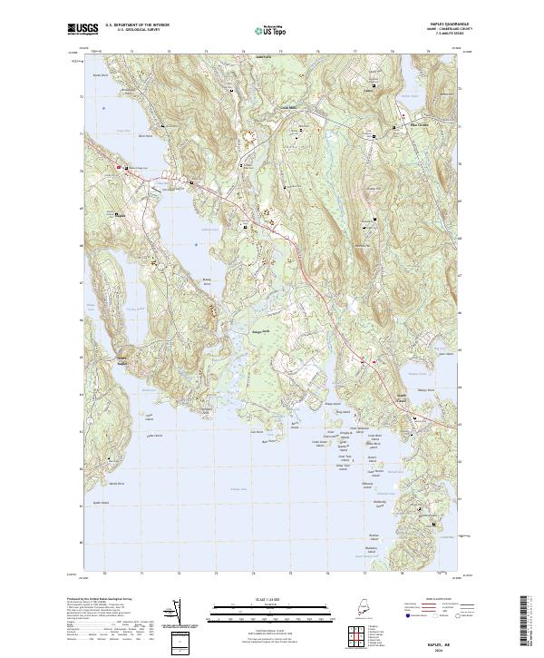
2024 Map of Naples
USGS Topo · Published 2024About this map
The Songo River and its historic Songo Lock serve as a central connection point in this lake-rich landscape, linking Long Lake to the north with the expansive Sebago Lake to the south. The settlement of Naples sits at the narrowest point of this waterway, where the Chute River flows from the village center. The terrain is defined by numerous points and coves, such as Thompson Point and Sebago Cove, while scattered hamlets like Edes Falls, Cook Mills, and South Casco anchor the surrounding uplands.
Find a feature on this map
197 named features on this map. Tap any name to fly to it.
Don’t see what you’re looking for? This feature index may not catch every label — zoom into the map to look around manually.
Map Details
Editions of this 2024 Naples Map
This is the sole edition of this map. No revisions or reprints were ever made.
Other maps of this area

1894 · Gray
USGS Topo · 1:62,500

1896 · Norway
USGS Topo · 1:62,500

1896 · Sebago
USGS Topo · 1:62,500

1898 · Gray
USGS Topo · 1:62,500

1908 · Poland
USGS Topo · 1:62,500

1940 · Poland
USGS Topo · 1:62,500

1942 · Poland
USGS Topo · 1:62,500

1942 · Gray
USGS Topo · 1:62,500

1942 · Sebago Lake
USGS Topo · 1:62,500

1943 · Sebago Lake
USGS Topo · 1:62,500