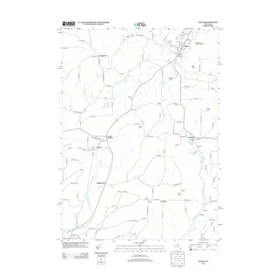
2013 Map of Naples
USGS Topo · Published 2013About this map
The Widmer's Wine Cellars and the Naples Union Agricultural Society Fair Grounds anchor the village of Naples, reflecting the deep agricultural and viticultural roots of this Finger Lakes region. The terrain is defined by dramatic elevation changes between Hatch Hill and Knapp Hill, with the village situated where Naples Creek and Grimes Creek converge.
Find a feature on this map
135 named features on this map. Tap any name to fly to it.
Don’t see what you’re looking for? This feature index may not catch every label — zoom into the map to look around manually.
Map Details
Editions of this 2013 Naples Map
This is the sole edition of this map. No revisions or reprints were ever made.
Other maps of this area

1900 · Naples
USGS Topo · 1:62,500

1902 · Wayland
USGS Topo · 1:62,500

1903 · Naples
USGS Topo · 1:62,500

1904 · Wayland
USGS Topo · 1:62,500

1910 · Bath
USGS Topo · 1:62,500

1913 · Naples
USGS Topo · 1:62,500

1915 · Hornell
USGS Topo · 1:62,500

1918 · Hornell
USGS Topo · 1:62,500

1942 · Springwater
USGS Topo · 1:31,680

1942 · Wayland
USGS Topo · 1:31,680