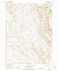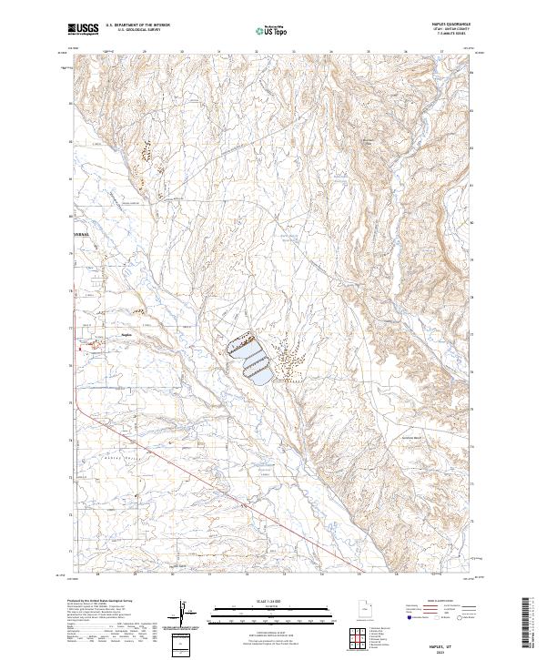
2023 Map of Naples
USGS Topo · Published 2023About this map
Ashley Valley serves as a vital agricultural corridor where the desert meeting the mountains in northeastern Utah. This contemporary survey captures the intricate irrigation and water management network defining the region, anchored by Ashley Creek and a system of canals and reservoirs including Herman-Saddler Reservoir, Burns Bench Reservoir, and the Rock Point Canal. The landscape is a study in contrasting elevations, from the low-lying valley floor to the dissected heights of the Buckskin Hills and Sunshine Bench.
Find a feature on this map
37 named features on this map. Tap any name to fly to it.
Don’t see what you’re looking for? This feature index may not catch every label — zoom into the map to look around manually.
Map Details
Editions of this 2023 Naples Map
This is the sole edition of this map. No revisions or reprints were ever made.