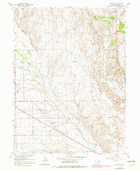
1965 Map of Naples
USGS Topo · Published 1979About this map
Ashley Valley defines this high-desert landscape, where the settlement of Naples sits at the intersection of local industry and agriculture. Irrigation infrastructure is central to the area's development, evidenced by the Ashley Central Canal and multiple storage features like Burns Bench Reservoir and Bullwinkle Reservoir. The map illustrates a mid-century community in transition, balancing established features like the Vernal Golf Course with technical utility sites including a Vernal Substation, a Radio Facility, and a Sewage Disposal plant. Steep terrain rises to the east and north in the Buck Skin Hills and Sunshine Bench, where a network of pipelines and a Jeep Trail navigate the more remote draws and creek beds.
Find a feature on this map
24 named features on this map. Tap any name to fly to it.
Don’t see what you’re looking for? This feature index may not catch every label — zoom into the map to look around manually.
Map Details
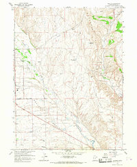
Editions of this 1965 Naples Map
2 editions found
Other maps of this area

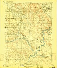
1885 · Ashley
USGS Topo · 1:250,000

1906 · Marsh Peak
USGS Topo · 1:125,000

1907 · Jensen
USGS Topo · 1:125,000

1908 · Marsh Peak
USGS Topo · 1:125,000

1910 · Jensen
USGS Topo · 1:125,000
1917 · Vernal
USGS Topo · 1:125,000

1954 · Vernal
USGS Topo · 1:250,000

1958 · Vernal
USGS Topo · 1:250,000

1960 · Vernal
USGS Topo · 1:250,000
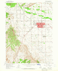
1964 · Vernal NE
USGS Topo · 1:24,000