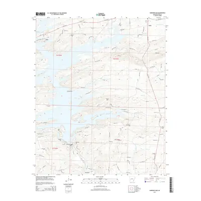
2014 Map of Narrows Dam
USGS Topo · Published 2014About this map
Narrows Dam anchors the landscape where it impounds the Little Missouri River to form the expansive waters of Lake Greeson. This topographic survey captures the area's transition from the water's edge to the high ridges of the Ouachita Mountains, including Funderburk Mtn and Kirby Mtn. The settlement of Daisy serves as a gateway to the Daisy State Park Area A, while the community of Kirby sits at the intersection of state highways to the northeast.
Find a feature on this map
103 named features on this map. Tap any name to fly to it.
Don’t see what you’re looking for? This feature index may not catch every label — zoom into the map to look around manually.
Map Details
Editions of this 2014 Narrows Dam Map
This is the sole edition of this map. No revisions or reprints were ever made.
Other maps of this area

1906 · Caddo Gap
USGS Topo · 1:125,000

1936 · Athens
USGS Topo · 1:48,000

1936 · Glenwood
USGS Topo · 1:48,000

1942 · Glenwood
USGS Topo · 1:62,500

1942 · Athens
USGS Topo · 1:62,500

1949 · Glenwood
USGS Topo · 1:62,500

1955 · Little Rock
USGS Topo · 1:250,000

1956 · Little Rock
USGS Topo · 1:250,000

1960 · Little Rock
USGS Topo · 1:250,000

1964 · Little Rock
USGS Topo · 1:250,000