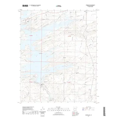
2020 Map of Narrows Dam
USGS Topo · Published 2020About this map
Lake Greeson dominates the central landscape of this Pike County quadrangle, formed by the impoundment of the Little Missouri River at Narrows Dam. The map documents the intricate shoreline and surrounding timberlands, including elevations like Skelton Mtn and Funderburk Mtn. In the northern half, the settlements of Daisy and Kirby serve as local hubs, with Kirby showing a cluster of development near the Kirby Cem. Local history is preserved in small burial sites such as Bear Creek Cem and Cummings Cem, which sit near the winding banks of Bear Cr. The area’s recreational character is evident through the Daisy Creek Nature Trail and the Bear Creek Cycle Trail (Usace), reflecting a landscape defined by both industrial water management and public forest access.
Find a feature on this map
113 named features on this map. Tap any name to fly to it.
Don’t see what you’re looking for? This feature index may not catch every label — zoom into the map to look around manually.
Map Details
Editions of this 2020 Narrows Dam Map
This is the sole edition of this map. No revisions or reprints were ever made.
Other maps of this area

1906 · Caddo Gap
USGS Topo · 1:125,000

1936 · Athens
USGS Topo · 1:48,000

1936 · Glenwood
USGS Topo · 1:48,000

1942 · Glenwood
USGS Topo · 1:62,500

1942 · Athens
USGS Topo · 1:62,500

1949 · Glenwood
USGS Topo · 1:62,500

1955 · Little Rock
USGS Topo · 1:250,000

1956 · Little Rock
USGS Topo · 1:250,000

1960 · Little Rock
USGS Topo · 1:250,000

1964 · Little Rock
USGS Topo · 1:250,000