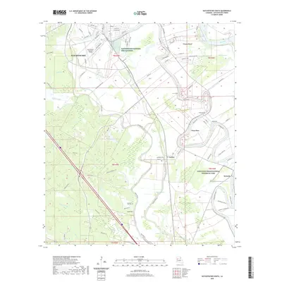
2020 Map of Natchitoches South
USGS Topo · Published 2020About this map
Natchitoches anchor the northern reaches of this Louisiana landscape, where the Red River and a complex network of bayous define the terrain. The map captures a transition from the urban infrastructure of the Natchitoches Regional Airport and Natchitoches National Fish Hatchery to the rich cultural heritage of the south. Along the winding Old River, small settlements like Natchez and Point Place sit near historically significant sites, including the Cane River Creolenational Historical Park.
Find a feature on this map
101 named features on this map. Tap any name to fly to it.
Don’t see what you’re looking for? This feature index may not catch every label — zoom into the map to look around manually.
Map Details
Editions of this 2020 Natchitoches South Map
This is the sole edition of this map. No revisions or reprints were ever made.
Other maps of this area

1935 · Hagewood
USGS Topo · 1:31,680

1937 · Bermuda
USGS Topo · 1:31,680

1937 · Campti SE
USGS Topo · 1:31,680

1937 · Bellwood
USGS Topo · 1:31,680

1937 · Montgomery
USGS Topo · 1:62,500

1937 · Campti SW
USGS Topo · 1:31,680

1937 · Cloutierville
USGS Topo · 1:31,680

1937 · Cypress
USGS Topo · 1:31,680

1942 · Montgomery
USGS Topo · 1:62,500

1943 · Provencal
USGS Topo · 1:62,500