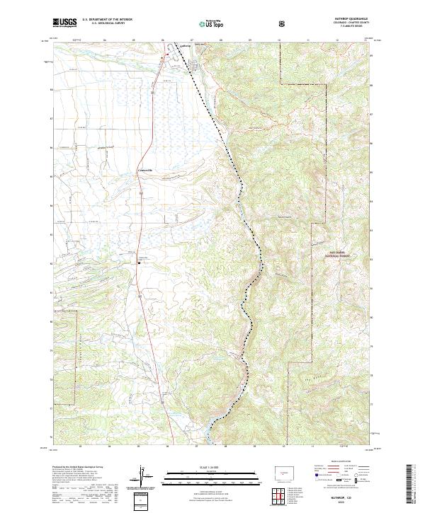
2022 Map of Nathrop
USGS Topo · Published 2022About this map
Nathrop and the surrounding Chaffee County landscape appear here in a contemporary context, defined by the winding course of the Arkansas River and its confluence with Chalk Cr. The settlement of Centerville remains a focal point for researchers, particularly with the inclusion of the Centerville Cem and local family ranch markers like Nachtrieb Ranches Rd. The geography transitions from the flat river valley into the complex terrain of the San Isabel National Forest, where features such as Ruby Mtn and The Reef dominate the eastern elevations.
Find a feature on this map
68 named features on this map. Tap any name to fly to it.
Don’t see what you’re looking for? This feature index may not catch every label — zoom into the map to look around manually.
Map Details
Editions of this 2022 Nathrop Map
This is the sole edition of this map. No revisions or reprints were ever made.
Other maps of this area

1954 · Pueblo
USGS Topo · 1:250,000

1955 · Buena Vista
USGS Topo · 1:62,500

1956 · Cameron Mountain
USGS Topo · 1:62,500

1956 · Poncha Springs
USGS Topo · 1:62,500

1956 · Montrose
USGS Topo · 1:250,000

1957 · Pueblo
USGS Topo · 1:250,000

1958 · Pueblo
USGS Topo · 1:250,000

1959 · Montrose
USGS Topo · 1:250,000

1959 · Antero Reservoir
USGS Topo · 1:62,500

1960 · Montrose
USGS Topo · 1:250,000