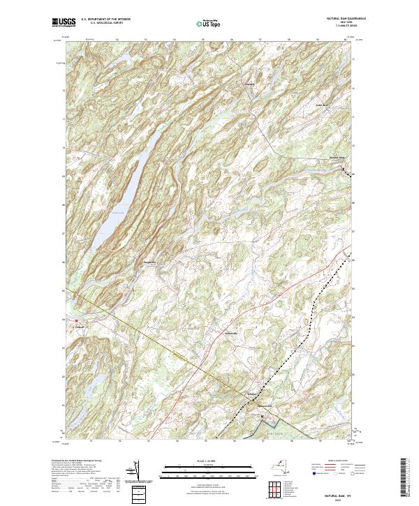
2023 Map of Natural Dam
USGS Topo · Published 2023About this map
The Oswegatchie River defines the landscape of this northern New York region, winding past long-established hamlets and through a terrain marked by small watercourses like Malterna Creek and Matoon Creek. Rural life centers on quiet settlements such as Wegatchie, Somerville, and Oxbow, where local roads like Scotch Settlement Rd hint at the area's ancestral roots. Near the southern edge, the Spragueville Cem sits just outside the community of Spragueville, providing a specific point of interest for genealogists tracing families from the St. Lawrence Co and Jefferson Co borderlands. The geography is punctuated by significant local bodies of water, including Yellow Lake and the distinctive horseshoe bend of the Little Bow River near the settlement of Little Bow.
Find a feature on this map
59 named features on this map. Tap any name to fly to it.
Don’t see what you’re looking for? This feature index may not catch every label — zoom into the map to look around manually.
Map Details
Editions of this 2023 Natural Dam Map
This is the sole edition of this map. No revisions or reprints were ever made.
Other maps of this area

1911 · Antwerp
USGS Topo · 1:62,500

1912 · Hammond
USGS Topo · 1:62,500

1913 · Lake Bonaparte
USGS Topo · 1:62,500

1915 · Gouverneur
USGS Topo · 1:62,500

1916 · Lake Bonaparte
USGS Topo · 1:62,500

1937 · Gouverneur
USGS Topo · 1:62,500

1944 · Hammond
USGS Topo · 1:62,500

1948 · Ogdensburg
USGS Topo · 1:250,000

1949 · Hammond
USGS Topo · 1:62,500

1949 · Antwerp
USGS Topo · 1:62,500