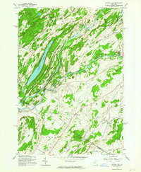
1961 Map of Natural Dam
USGS Topo · Published 1964About this map
The Oswegatchie River winds through this 1961 landscape, defining the character of the borderlands between St Lawrence and Jefferson counties. Small, established hamlets like Oxbow, Somerville, and Wegatchie are connected by a network of rural roads such as Scotch Settlement Road and Caledonia Road, reflecting a long history of local commerce and settlement. The New York Central railroad cuts through the southeastern corner near Spragueville, serving the agricultural and industrial needs of the era.
Find a feature on this map
55 named features on this map. Tap any name to fly to it.
Don’t see what you’re looking for? This feature index may not catch every label — zoom into the map to look around manually.
Map Details
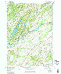
Editions of this 1961 Natural Dam Map
3 editions found

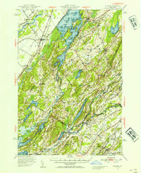
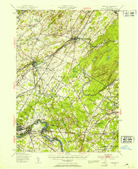
Other maps of this area

1911 · Antwerp
USGS Topo · 1:62,500

1912 · Hammond
USGS Topo · 1:62,500

1913 · Lake Bonaparte
USGS Topo · 1:62,500

1915 · Gouverneur
USGS Topo · 1:62,500

1916 · Lake Bonaparte
USGS Topo · 1:62,500

1937 · Gouverneur
USGS Topo · 1:62,500

1944 · Hammond
USGS Topo · 1:62,500

1948 · Ogdensburg
USGS Topo · 1:250,000
1949 · Hammond
USGS Topo · 1:62,500
1949 · Antwerp
USGS Topo · 1:62,500