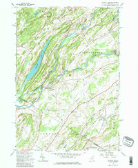
1961 Map of Natural Dam
USGS Topo · Published 1979About this map
The Oswegatchie River meanders sharply through this 1961 revision, defining the border between the towns of Rossie and Gouverneur. The landscape is a network of small hamlets and river settlements, including the namesake Natural Dam and the riverside communities of Wegatchie and Elmdale. To the southwest, the New York Central railroad serves the village of Spragueville and the nearby Keenes, skirting the edge of the Camp Drum Military Reservation.
Find a feature on this map
55 named features on this map. Tap any name to fly to it.
Don’t see what you’re looking for? This feature index may not catch every label — zoom into the map to look around manually.
Map Details
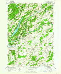
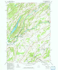
Editions of this 1961 Natural Dam Map
3 editions found
Other maps of this area

1911 · Antwerp
USGS Topo · 1:62,500

1912 · Hammond
USGS Topo · 1:62,500

1913 · Lake Bonaparte
USGS Topo · 1:62,500

1915 · Gouverneur
USGS Topo · 1:62,500

1916 · Lake Bonaparte
USGS Topo · 1:62,500

1937 · Gouverneur
USGS Topo · 1:62,500

1944 · Hammond
USGS Topo · 1:62,500

1948 · Ogdensburg
USGS Topo · 1:250,000

1949 · Hammond
USGS Topo · 1:62,500

1949 · Antwerp
USGS Topo · 1:62,500