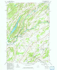
1961 Map of Natural Dam
USGS Topo · Published 1979About this map
The Oswegatchie River dominates this portion of Northern New York, carving a winding path through the townships of Rossie, Gouverneur, and Antwerp. Along its banks, the settlement of Natural Dam stands as a focal point of human activity, while the river’s sharp bend at Oxbow illustrates the dramatic geological formations that influenced early development. The landscape is a mixture of water and wood, defined by the elongated Yellow Lake and several smaller tributaries like Matoon Creek and Beaver Creek.
Find a feature on this map
51 named features on this map. Tap any name to fly to it.
Don’t see what you’re looking for? This feature index may not catch every label — zoom into the map to look around manually.
Map Details
Editions of this 1961 Natural Dam Map
3 editions found
Other maps of this area

1911 · Antwerp
USGS Topo · 1:62,500

1912 · Hammond
USGS Topo · 1:62,500

1913 · Lake Bonaparte
USGS Topo · 1:62,500

1915 · Gouverneur
USGS Topo · 1:62,500

1916 · Lake Bonaparte
USGS Topo · 1:62,500

1937 · Gouverneur
USGS Topo · 1:62,500

1944 · Hammond
USGS Topo · 1:62,500

1948 · Ogdensburg
USGS Topo · 1:250,000

1949 · Hammond
USGS Topo · 1:62,500

1949 · Antwerp
USGS Topo · 1:62,500