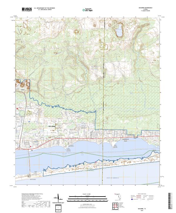
2025 Map of Navarre
USGS Topo · Published 2025About this map
Navarre and the surrounding coastal corridor of Santa Rosa County are defined by their position between the sprawling Eglin Air Force Base to the north and the Gulf of Mexico to the south. This modern survey illustrates the dense residential development along Navarre Pkwy, stretching from the community of Holley toward Wynnehaven Beach at the Okaloosa County line. The geography is shaped by the Santa Rosa Sound, which separates the mainland from Santa Rosa Island, where the Navarre Beach community and protected lands of the Gulf Islands National Seashore are located. Inland, the landscape transitions into the heavily wooded wetlands of East Bay Swamp and the drainages of East Bay River and Panther Creek, areas largely integrated into the military reservation. Significant coastal features include Lower Pritchard Long Point and the narrow passage known as The Narrows.
Find a feature on this map
29 named features on this map. Tap any name to fly to it.
Don’t see what you’re looking for? This feature index may not catch every label — zoom into the map to look around manually.
Map Details
Editions of this 2025 Navarre Map
This is the sole edition of this map. No revisions or reprints were ever made.
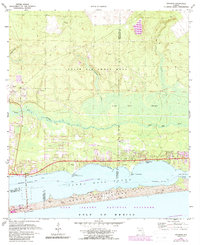
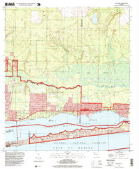
Historical Maps of Okaloosa County Through Time
3 maps found