
1943 Map of Navarro
USGS Topo · Published 1954About this map
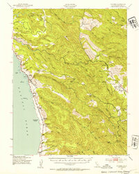
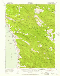
The Navarro River carves a winding path through the Mendocino coast in this mid-century survey, revealing a landscape defined by timber, ranching, and the legacy of the Albion Railroad. While the coastal settlement of Elk sits near the rocky outcrops of Cuffy Cove and Nose Rock, the interior is a dense network of gulches and ridges populated by family-run operations such as the McMaster Ranch, Donahue Ranch, and Williams Ranch. This period captures the rural infrastructure of the 1940s, where small schoolhouses like Blossom Sch and Navarro Ridge Sch served isolated communities.
Find a feature on this map
88 named features on this map. Tap any name to fly to it.
Don’t see what you’re looking for? This feature index may not catch every label — zoom into the map to look around manually.
Map Details
Editions of this 1943 Navarro Map
3 editions found
Other maps of this area

1920 · Glenblair
USGS Topo · 1:62,500

1920 · Fort Bragg
USGS Topo · 1:62,500

1922 · Willits
USGS Topo · 1:62,500

1942 · Willits
USGS Topo · 1:62,500

1943 · Point Arena
USGS Topo · 1:62,500

1943 · Glenblair
USGS Topo · 1:62,500

1943 · Fort Bragg
USGS Topo · 1:62,500

1943 · Albion
USGS Topo · 1:62,500

1943 · Boonville
USGS Topo · 1:62,500

1943 · Ornbaun
USGS Topo · 1:62,500